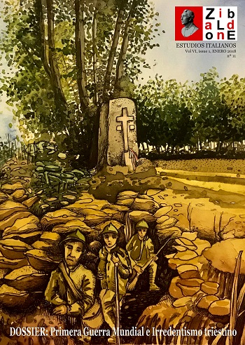
Towards a history of the representations of territory: the maps of Italy during the 19th century
Keywords:
Cartography, History, Map, Italy Abstract
The article focuses on how the elaboration of maps of Italy has contributed to “do the Italians”. The objective is to show that the history of cartography and the uses of maps allow to conceive in a better way the links established between scientific culture and technical culture (of cartographers and surveyors) in a context of mass education where the scientific and precise content of the message is less valuable than its directly effectiveness within the propaganda circuits.
 Downloads
Download data is not yet available.
Downloads
Published
2018-01-25
How to Cite
Pécout, G. (2018). Towards a history of the representations of territory: the maps of Italy during the 19th century. Zibaldone. Estudios Italianos, 6(1), 4–13. Retrieved from https://pasquin.uv.es/index.php/zibaldone/article/view/11346
Metrics
Views/Downloads
-
Abstract635
-
PDF (Español)253
Issue
Section
Dossier monografico
License
![]()
This work is licensed under a Creative Commons Attribution 4.0 International License.
All contents of this electronic edition, except where otherwise noted, are distributed under a “Creative Commons Attribution 4.0 International License.” license (CC-by). You may read here the basic information and the legal text of the license. The indication of the license CC-by must be expressly stated in this way when necessary.
Self-archiving in repositories, personal webpages or similar, of any version other than the published by the Editor, is not allowed.